1Problem
We assess 3D spatial knowledge with a 2D medium. Pen-and-paper sketch maps of vertically-complex environments make it difficult to draw and assess vertical understanding.
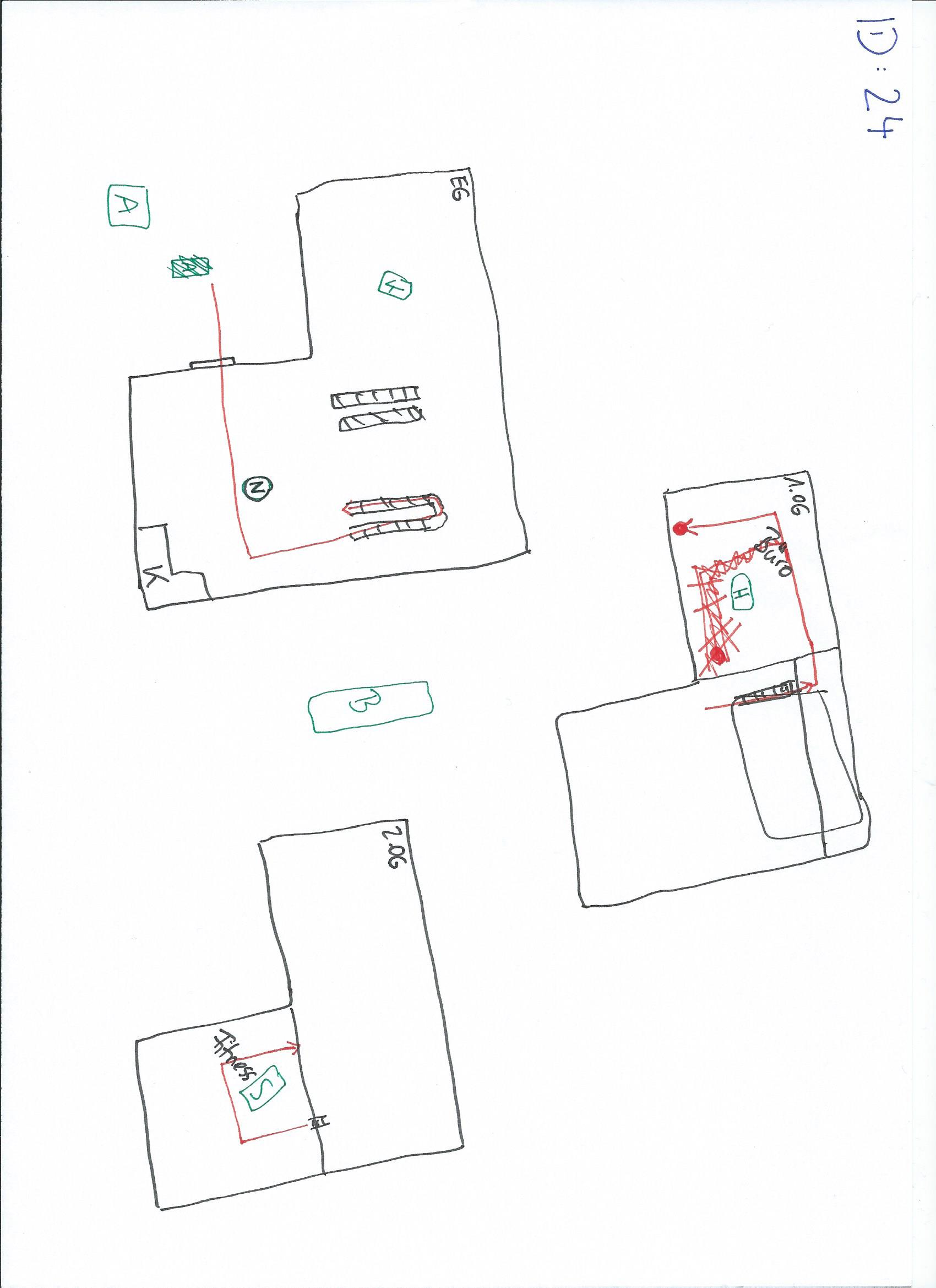
A 2D pen-and-paper sketch map from our dataset (Exp 1, participant id24). The vertically layered building has to be flattened onto the page, so up–down relations are hard to draw and hard to assess.
2Method
Two VR experiments. Each participant produced a 2D pen-and-paper and a 3D Gravity Sketch map of the same environment.
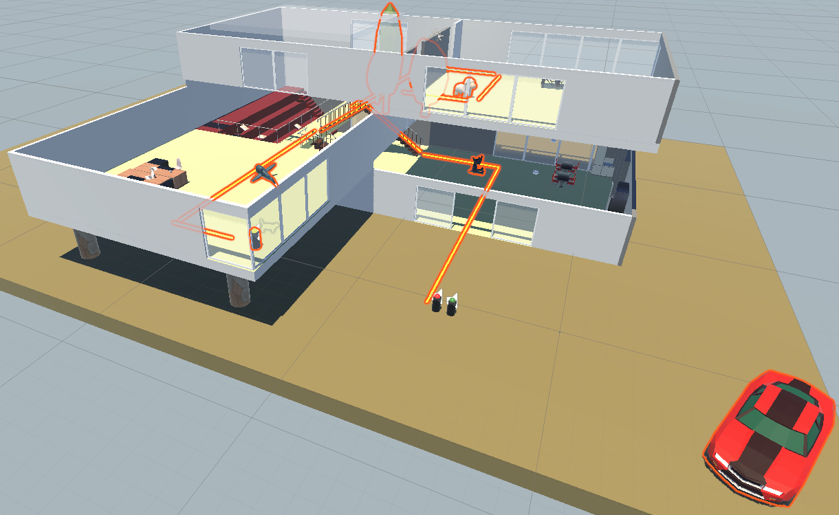
Exp 1 · Vertically layered building
- n
- 27
- Levels
- 3 (middle rotated 90°)
- Landmarks
- 6 (3 in, 3 out)
- Locomotion
- Joystick (free)
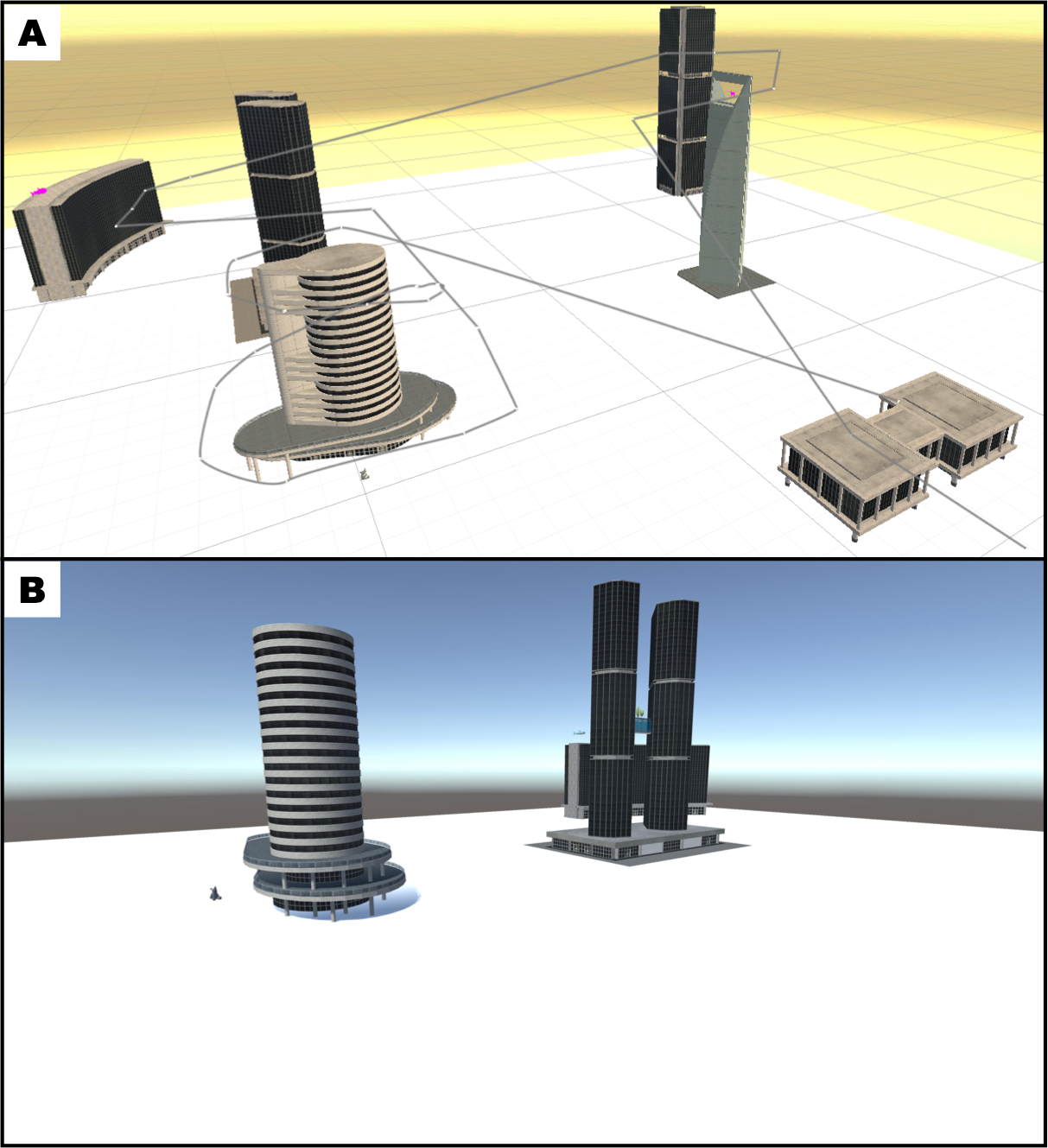
Exp 2 · Vertically volumetric urban scene
- n
- 37
- Buildings
- 6
- Landmark heights
- 3 levels
- Locomotion
- Drone fly-through
Each sketch was coded for occurrence and correctness of qualitative spatial relations along X, Y, Z axes separately. Bayesian Bernoulli mixed-effects models with random effects for participant and relation.
3Results
2D sketch maps act as a bottleneck: people store vertical spatial knowledge that the 2D medium hides but a 3D medium reveals.
4Sketch maps
Every participant’s 2D and 3D sketch, side by side. Click a card.